

详细内容
The Visual Intelligence Platform
Turn photos into intelligence. No metadata required
GeoSpy has helped solve over 10000+ cases world wide
GeoSpy
For Enterprise & Law Enforcement
GeoSpy is an advanced platform integrating powerful AI location models for your city or country. Delivering up to meter level accuracy, state of the art computer vision models all in an easy to use interface. Available for qualified government and enterprise organizations. Contact us for licensing and pricing details.
Contact Us
Geo-Estimation
Precision Targeting
Property Targeting
Geo-Estimation
Turn low context images into intel
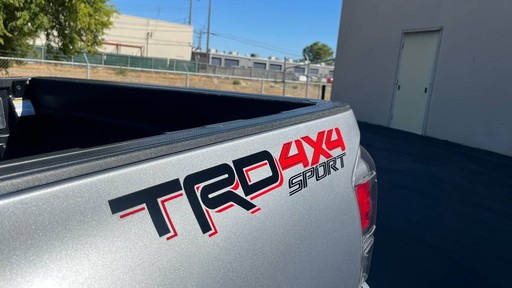
GeoSpy's cutting edge geo estimation models allow you to take low context images and determine locations using only the pixels from the image.

Who we are
Why America’s Heroes Deserve the Most Advanced AI
Turn pixels into intelligence.
GeoSpy has enabled law enforcement and government agencies to act swiftly, determining the location of suspects and criminals within seconds. By acting on real-time, sensitive data, authorities have been able to capture dangerous individuals faster than ever before.


“Fugitive Apprehended
How AI Helped Catch a Fugitive in 20 Minutes
Articles
Explore the blog
Hear the latest from the GeoSpy team
 \
Why America’s Heroes Deserve the Most Advanced AI
August 20, 2025
 \
Catching a Fugitive in 20 Minutes: How AI Changes the Game for Law Enforcement
August 1, 2025
 \
April 14, 2025